British Columbia · area guide · 11 communities · checked October 8, 2026
Home energy audits, radon and well water testing in Northern BC
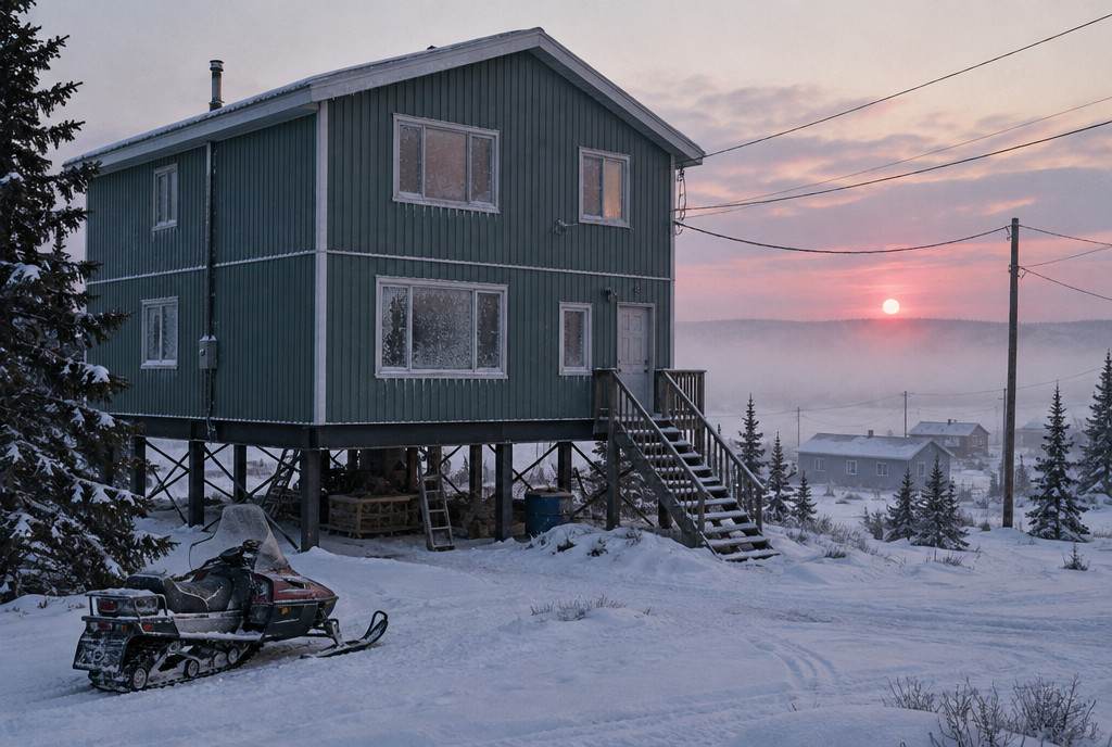
The Fraser-Fort George and Peace River regional districts are home to 158,511 people (2021 Census), 123,038 of them in the eleven municipalities listed here, and 11% of their houses were built before 1961. This guide covers 11 communities, from Prince George, Dawson Creek and Fort St. John to the smallest hamlets, with the local numbers that shape an energy audit or a home health test.
Population (2021)
158,511
Communities listed
11
Houses built before 1961
11%
Heating degree-days
4,673
Prince George STP
How Northern BC is built
- Before 1961 11%
- 1961–1990 58%
- 1991–2000 13%
- 2001 or later 18%
This page covers Prince George and the Regional District of Fraser-Fort George, and Dawson Creek, Fort St. John and the Peace River Regional District. No city we cover is within 390 km, so the energy advisors listed here come straight from NRCan's list for Prince George, Dawson Creek and Fort St. John postal codes.
Six local guides for Northern BC
Energy audits and heat pump sizing
Northern BC at a glance
People and homes
158,511 people and 72,060 private dwellings in 2021, up 0.7% in population since 2016. On census day (May 11, 2021), 10% of the 72,060 private dwellings in the Fraser-Fort George and Peace River regional districts were not anyone's permanent home.
Housing
Of the 42,520 houses in the eleven municipalities listed here (single-detached, semi-detached, row houses, duplexes and mobile homes), 11% were built before 1961 and 69% before 1991, according to the 2021 Census. The typical house dates from 1971–1980.
Climate
Environment and Climate Change Canada's 1981–2010 climate normal at Prince George STP (4.0 km from Prince George) is 4,673 heating degree-days a year, with a January mean of −6.7°C. At Dawson Creek Airport, 4.0 km from Dawson Creek, the normal is 5,870 heating degree-days, with a January mean of −13.2°C. The building code's 2.5% January design temperatures for the area run from −32°C to −38°C.
Radon
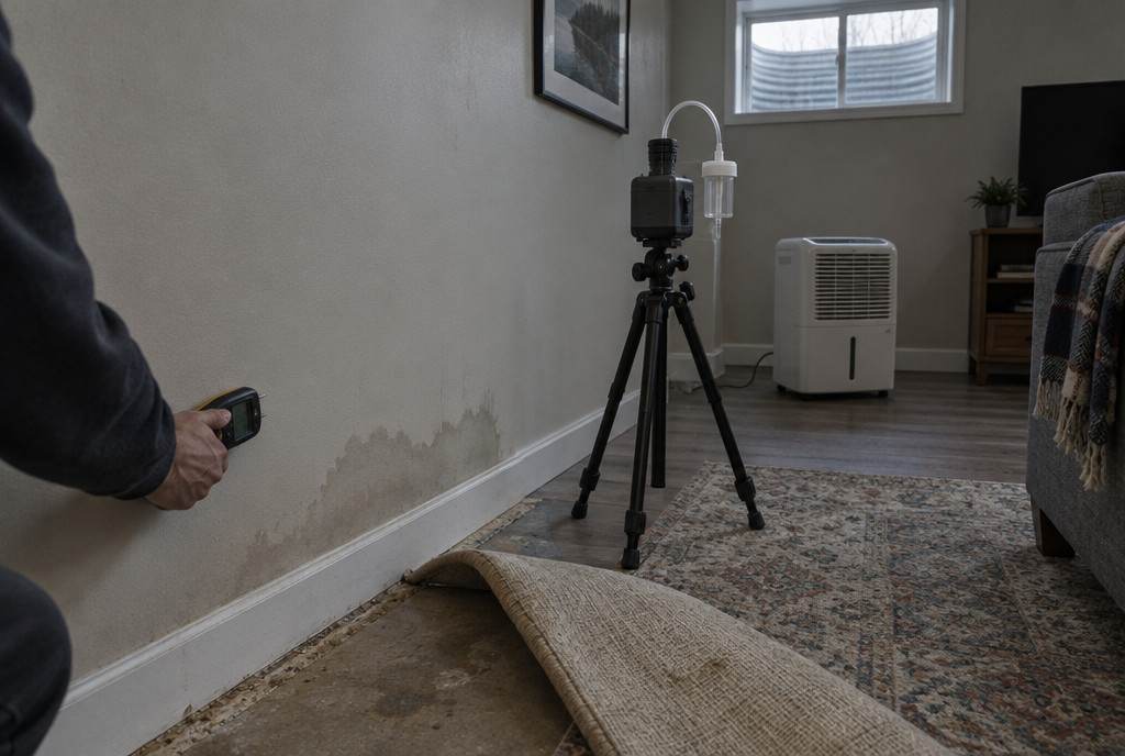
In Health Canada’s 2012 survey, 12% of 208 homes tested in the Northern Interior Health Service Delivery Area were above the guideline; 10% of 200 homes tested in the Northeast Health Service Delivery Area were above the guideline. The larger 2024 Cross-Canada survey reports about 1 in 3 homes at or above the guideline for the survey's B.C. Interior region (northern and interior B.C.).
Energy advisors
NRCan's list (checked October 8, 2026) shows 16 service organizations registered for postal codes in Prince George, Dawson Creek and Fort St. John. Confirm they travel to your community.
Every community in Northern BC
Grouped by municipality, with 2021 Census populations. Names come from Natural Resources Canada's geographical names database and Statistics Canada's population centres.
- Prince George 76,708
- Fort St. John 21,465
- Dawson Creek 12,323
- Mackenzie 3,281
- Tumbler Ridge 2,399
- Chetwynd 2,302
- Taylor 1,317
- Valemount 1,052
- Hudson's Hope 841
- Pouce Coupe 762
- McBride 588
Who does the work in Northern BC
- Energy evaluations and heat loss calculations: NRCan's list (checked October 8, 2026) shows 16 registered service organizations for postal codes in Prince George, Dawson Creek, Fort St. John. See them with phone numbers; confirm they travel to your community.
- Radon: certified measurement and mitigation professionals are listed in the C-NRPP directory ↗.
- Wood stoves and chimneys: WETT-certified professionals are listed in the WETT directory ↗; see wood-burning inspections in Northern BC.
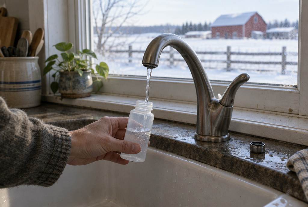
- Well water: a qualified private lab (search the CALA directory). Details for Northern BC.
Rebates and financing for Northern BC homes
Nearby city pages and guides
Sources
- Statistics Canada — 2021 Census population and dwelling counts (table 98-10-0002-01)
- Statistics Canada — 2021 Census, households by period of construction and dwelling type (table 98-10-0233-01)
- Statistics Canada — 2021 Census population centres (table 98-10-0011-01)
- NRCan — Canadian Geographical Names Database (official place names)
- Environment and Climate Change Canada — Canadian Climate Normals 1981–2010
- National Research Council — National Building Code of Canada 2020, Appendix C, Table C-2 (climatic design data)
- Health Canada — Cross-Canada Survey of Radon Concentrations in Homes, final report (2012), Table 5
- NRCan — Service organizations for existing homes (list checked October 8, 2026)
- Evict Radon National Study with Health Canada — 2024 Cross-Canada Survey of Radon Exposure (report v1.1)
- Statistics Canada — Census dictionary: private dwelling occupied by usual residents
Planning upgrades in Northern BC?
Tell us where you are and what you’re planning. We’ll connect you with a registered service organization for your area — no spam, no shared lead lists.