Ontario · area guide · 26 communities · checked October 8, 2026
Home energy audits, radon and well water testing in Niagara Region
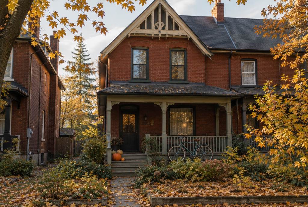
The eleven towns and townships on this page are home to 341,138 people (2021 Census), and 32% of their houses were built before 1961. This guide covers 26 communities, from Niagara Falls, Welland, Fort Erie, Grimsby and Lincoln to the smallest hamlets, with the local numbers that shape an energy audit or a home health test.
Population (2021)
341,138
Communities listed
26
Houses built before 1961
32%
Heating degree-days
3,656
Ridgeville
How Niagara Region is built
- Before 1961 32%
- 1961–1990 35%
- 1991–2000 10%
- 2001 or later 24%
This page covers the Niagara Region municipalities outside St. Catharines, which has its own pages: Niagara Falls, Welland, Fort Erie, Grimsby, Lincoln, Thorold, Port Colborne, Niagara-on-the-Lake, Pelham, West Lincoln and Wainfleet.
Six local guides for Niagara Region
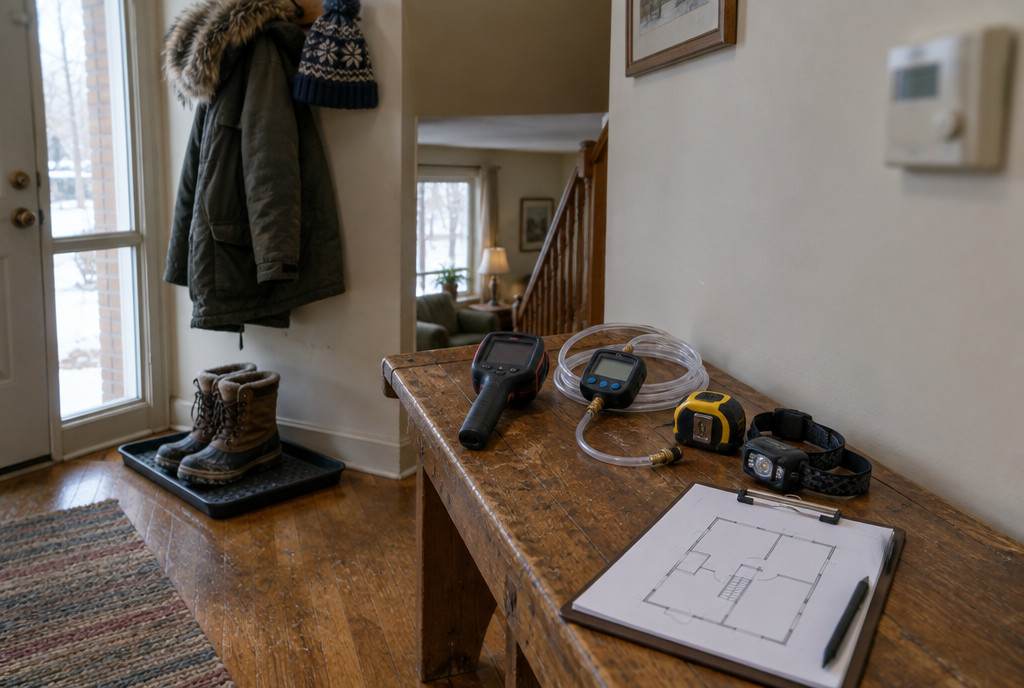
Energy audits and heat pump sizing
Niagara Region at a glance
People and homes
341,138 people and 145,949 private dwellings in 2021, up 8.4% in population since 2016.
Housing
Of the 119,050 houses in Niagara Region (single-detached, semi-detached, row houses, duplexes and mobile homes), 32% were built before 1961 and 67% before 1991, according to the 2021 Census. The typical house dates from 1971–1980.
Climate
Environment and Climate Change Canada's 1981–2010 climate normal at Ridgeville (4.0 km from the middle of the area) is 3,656 heating degree-days a year, with a January mean of −4.4°C. The building code's 2.5% January design temperatures for the area run from −15°C to −16°C.
Radon
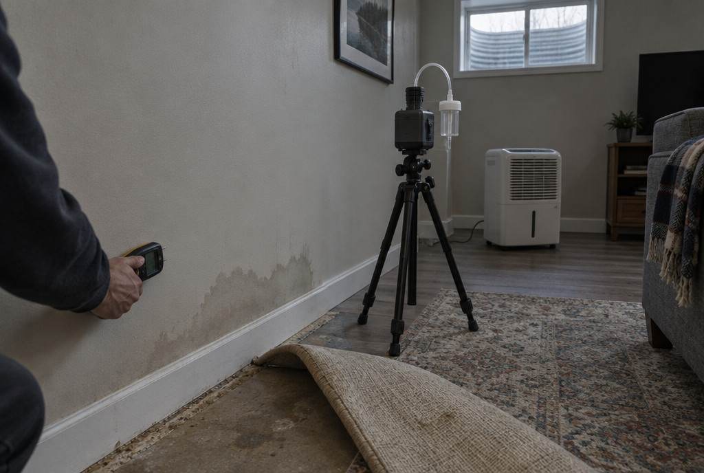
In Health Canada’s 2012 survey, 2% of 100 homes tested in the Niagara Regional Area Health Unit were above the guideline. The larger 2024 Cross-Canada survey reports 12.4% (1 in 8) of homes at or above the guideline for Ontario as a whole.
Wells
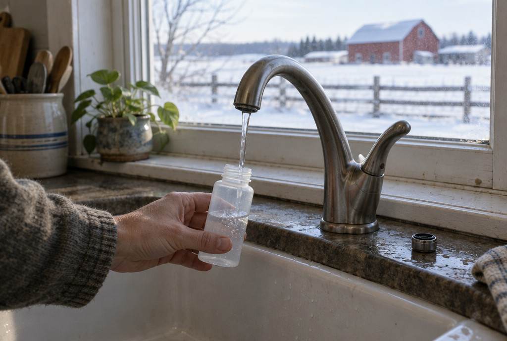
Free testing bottles can be picked up at all Public Health locations and most town halls; cistern owners can get free bacteria kits from Municipal Service Centres and Public Health. Free testing bottles can be picked up at all Niagara Region Public Health locations and most town halls.
Energy advisors
NRCan's list (checked October 8, 2026) shows 25 service organizations registered for postal codes in Niagara Falls, Welland, Fort Erie, Grimsby and Port Colborne. Confirm they travel to your community.
Heating
Province-wide, 58% of Ontario households heat mainly with natural gas, 18% with electricity, 4% with propane and 1% each with oil and wood (Statistics Canada, 2023); there's no published breakdown for this area alone.
Every community in Niagara Region
Grouped by municipality, with 2021 Census populations. Names come from Natural Resources Canada's geographical names database and Statistics Canada's population centres.
- City of Niagara Falls 94,415Chippawa
- City of Welland 55,750
- Town of Fort Erie 32,901Ridgeway, Stevensville
- Town of Grimsby 28,883
- Town of Lincoln 25,719Beamsville, Campden, Jordan Station, Vineland
- City of Thorold 23,816Allanburg
- City of Port Colborne 20,033Sherkston
- Town of Niagara-on-the-Lake 19,088Mississauga Beach, Queenston, Virgil
- Town of Pelham 18,192Fenwick
- Township of West Lincoln 15,454Caistor Centre, Smithville
- Township of Wainfleet 6,887
Covered on city pages
- St. Catharines 136,803St. Catharines has its own pages.
Who does the work in Niagara Region
- Energy evaluations and heat loss calculations: NRCan's list (checked October 8, 2026) shows 25 registered service organizations for postal codes in Niagara Falls, Welland, Fort Erie, Grimsby, Port Colborne. See them with phone numbers; confirm they travel to your community.
- Radon: certified measurement and mitigation professionals are listed in the C-NRPP directory ↗.
- Wood stoves and chimneys: WETT-certified professionals are listed in the WETT directory ↗; see wood-burning inspections in Niagara Region.
- Well water: free bacteria tests through the local public health unit; chemistry through a licensed private lab. Details for Niagara Region.
Rebates and financing for Niagara Region homes
Nearby city pages and guides
Sources
- Statistics Canada — 2021 Census population and dwelling counts (table 98-10-0002-01)
- Statistics Canada — 2021 Census, households by period of construction and dwelling type (table 98-10-0233-01)
- Statistics Canada — 2021 Census population centres (table 98-10-0011-01)
- NRCan — Canadian Geographical Names Database (official place names)
- Environment and Climate Change Canada — Canadian Climate Normals 1981–2010
- National Research Council — National Building Code of Canada 2020, Appendix C, Table C-2 (climatic design data)
- Health Canada — Cross-Canada Survey of Radon Concentrations in Homes, final report (2012), Table 5
- NRCan — Service organizations for existing homes (list checked October 8, 2026)
- Land Information Ontario — municipal boundaries (lower and single tier)
- Evict Radon National Study with Health Canada — 2024 Cross-Canada Survey of Radon Exposure (report v1.1)
- Niagara Region Public Health — private well water testing
- Statistics Canada — Households and the Environment Survey 2023, primary heating systems (table 38-10-0286-01)
Planning upgrades in Niagara Region?
Tell us where you are and what you’re planning. We’ll connect you with a registered service organization for your area — no spam, no shared lead lists.