Ontario · area guide · 14 communities · checked October 8, 2026
Home energy audits, radon and well water testing in Durham Region
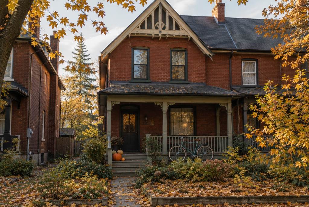
The three towns and townships on this page are home to 55,704 people (2021 Census), and 24% of their houses were built before 1961. This guide covers 14 communities, from Port Perry, Uxbridge and Brock to the smallest hamlets, with the local numbers that shape an energy audit or a home health test.
Population (2021)
55,704
Communities listed
14
Houses built before 1961
24%
Heating degree-days
4,357
Lindsay Frost
How Durham Region is built
- Before 1961 24%
- 1961–1990 42%
- 1991–2000 13%
- 2001 or later 21%
This page covers north Durham: the townships of Scugog (Port Perry), Uxbridge and Brock. Oshawa, Whitby, Ajax, Pickering and Clarington have their own pages, which also cover their hamlets.
Six local guides for Durham Region
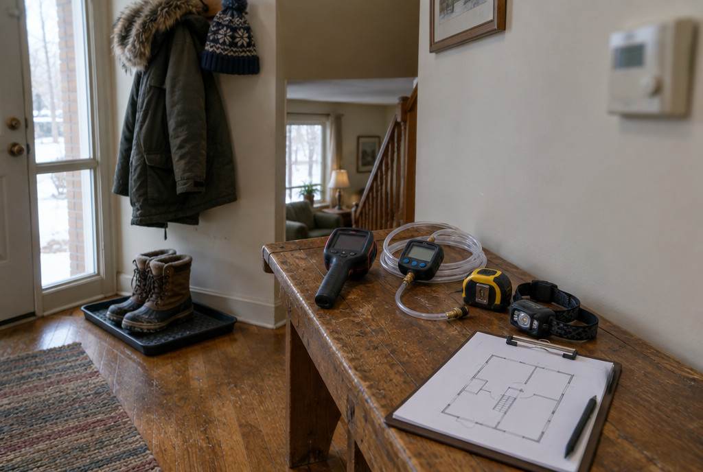
Energy audits and heat pump sizing
Durham Region at a glance
People and homes
55,704 people and 22,341 private dwellings in 2021, up 2.3% in population since 2016.
Housing
Of the 19,285 houses in Durham Region (single-detached, semi-detached, row houses, duplexes and mobile homes), 24% were built before 1961 and 66% before 1991, according to the 2021 Census. The typical house dates from 1971–1980.
Climate
Environment and Climate Change Canada's 1981–2010 climate normal at Lindsay Frost (30.6 km from the middle of the area) is 4,357 heating degree-days a year, with a January mean of −8.4°C. The building code's 2.5% January design temperatures for the area run from −20°C to −24°C.
Radon
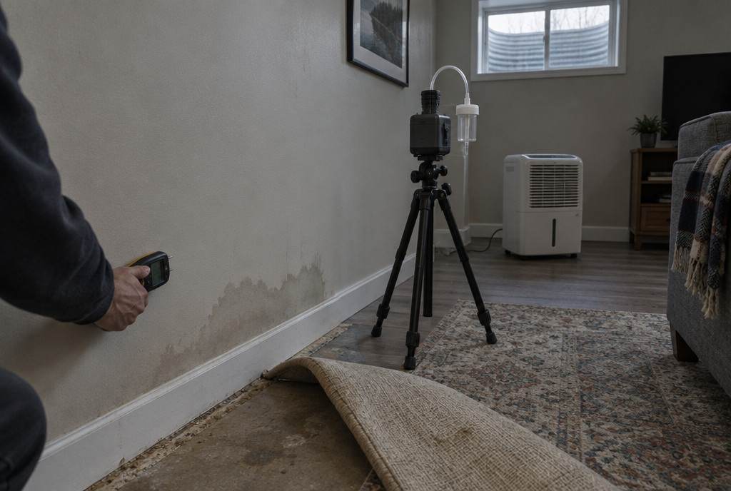
In Health Canada’s 2012 survey, none of the 95 homes tested in the Durham Regional Health Unit were above the guideline, a small sample that doesn't rule radon out. The larger 2024 Cross-Canada survey reports 12.4% (1 in 8) of homes at or above the guideline for Ontario as a whole.
Wells
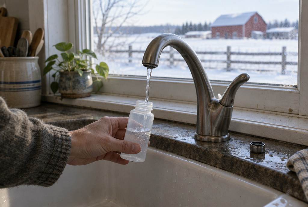
Free water testing for all Durham Region residents. North Durham pick-up and drop-off: the Health Department's North Office, 181 Perry Street, Port Perry, and the Township of Uxbridge office, 51 Toronto Street (both Monday to Thursday 8:30 a.m. to 4:30 p.m., Friday 8:30 to 9 a.m.); the Township of Brock office, 1 Cameron Street East, Cannington, hands out bottles only. Regional Headquarters in Whitby (605 Rossland Road East) takes samples until 10 a.m. for same-day delivery, and the Garnet B. Rickard Recreation Complex in Bowmanville is another site. Samples must reach the lab within 24 hours.
Energy advisors
NRCan's list (checked October 8, 2026) shows 23 service organizations registered for postal codes in Port Perry and Uxbridge. Confirm they travel to your community.
Heating
Province-wide, 58% of Ontario households heat mainly with natural gas, 18% with electricity, 4% with propane and 1% each with oil and wood (Statistics Canada, 2023); there's no published breakdown for this area alone.
Every community in Durham Region
Grouped by municipality, with 2021 Census populations. Names come from Natural Resources Canada's geographical names database and Statistics Canada's population centres.
- Township of Scugog 21,581Caesarea, Greenbank, Nestleton Station, Port Perry, Prince Albert
- Township of Uxbridge 21,556Goodwood, Leaskdale, Udora
- Township of Brock 12,567Beaverton, Cannington, Sunderland
Covered on city pages
- Pickering 99,186Pickering's page covers Brougham, Claremont, Greenwood and Whitevale.
- Clarington 101,427Clarington's page covers Hampton, Newcastle, Newtonville and Orono.
- Whitby 138,501Whitby's page covers Ashburn.
- Oshawa 175,383Oshawa has its own pages.
- Ajax 126,666Ajax has its own pages.
Who does the work in Durham Region
- Energy evaluations and heat loss calculations: NRCan's list (checked October 8, 2026) shows 23 registered service organizations for postal codes in Port Perry, Uxbridge. See them with phone numbers; confirm they travel to your community.
- Radon: certified measurement and mitigation professionals are listed in the C-NRPP directory ↗.
- Wood stoves and chimneys: WETT-certified professionals are listed in the WETT directory ↗; see wood-burning inspections in Durham Region.
- Well water: free bacteria tests through the local public health unit; chemistry through a licensed private lab. Details for Durham Region.
Rebates and financing for Durham Region homes
Nearby city pages and guides
Sources
- Statistics Canada — 2021 Census population and dwelling counts (table 98-10-0002-01)
- Statistics Canada — 2021 Census, households by period of construction and dwelling type (table 98-10-0233-01)
- Statistics Canada — 2021 Census population centres (table 98-10-0011-01)
- NRCan — Canadian Geographical Names Database (official place names)
- Environment and Climate Change Canada — Canadian Climate Normals 1981–2010
- National Research Council — National Building Code of Canada 2020, Appendix C, Table C-2 (climatic design data)
- Health Canada — Cross-Canada Survey of Radon Concentrations in Homes, final report (2012), Table 5
- NRCan — Service organizations for existing homes (list checked October 8, 2026)
- Land Information Ontario — municipal boundaries (lower and single tier)
- Evict Radon National Study with Health Canada — 2024 Cross-Canada Survey of Radon Exposure (report v1.1)
- Durham Region Health Department — private well water testing
- Statistics Canada — Households and the Environment Survey 2023, primary heating systems (table 38-10-0286-01)
Planning upgrades in Durham Region?
Tell us where you are and what you’re planning. We’ll connect you with a registered service organization for your area — no spam, no shared lead lists.